Up Ron & Marjolijn's holiday pictures » 2004-06 Chile-Bolivia-Peru » 15-Peru-El Valle Sagrado Prev Next Slideshow

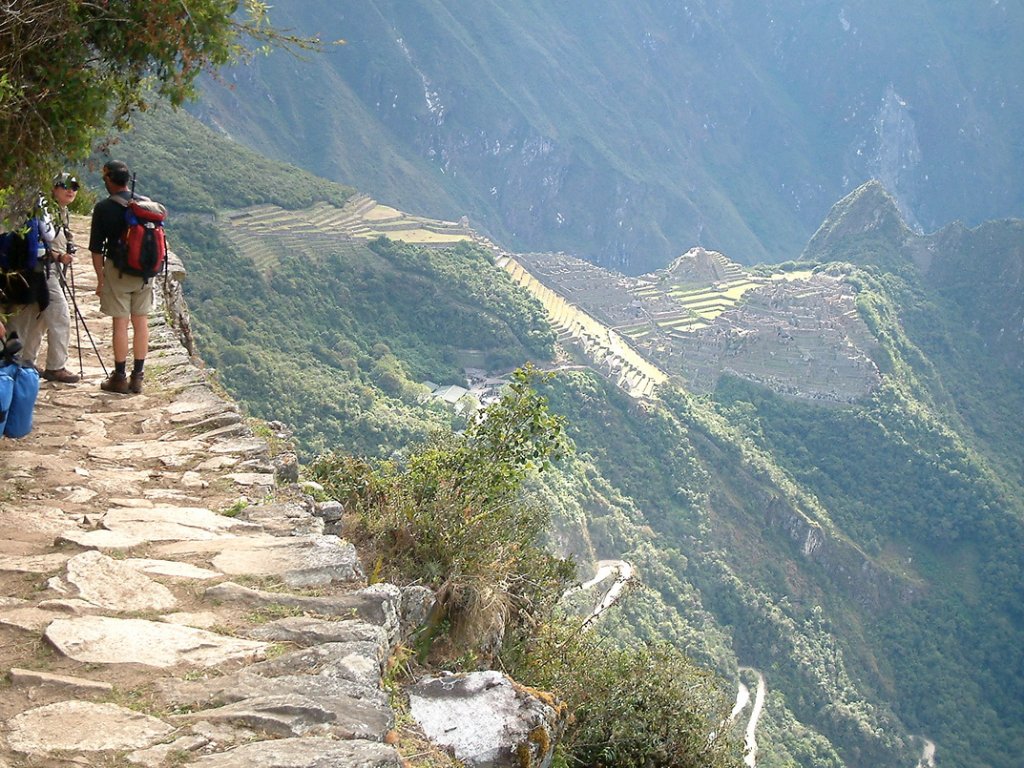
 Previous image  Next image  Index page  Original Image [21-The way from Inkti Punku to Machu Picchu.jpg - 527kB]
09-The Inca ruins of Ollantaytambo
10-The train to Aguas Calientes
11-The start of the short Inca Trail
12-We are passing the Urabamba river on 2173 m
13-Slowly up along the mountain
14-The ruins of Winay Wanya
15-Ascending the ruins of Winay Wanya
16-View of the Urabamba valley from the ruins of Winay Wanya
17-Resting at Inkti Punku or the Sungate
18-Posing on Inkti Punku
19-View from Inkti Punku on Machu Picchu
20-Machu Picchu from Inkti Punku
  21-The way from Inkti Punku to Machu Picchu.jpg - The way from Inkti Punku to Machu Picchu  
22-In de dept the Riobamba river
23-We are approaching Machu Picchu
24-Posing in front of Machu Picchu
25-Machu Picchu
26-View of Machu Picchu from Wayna Picchu
27-Panorama from Wayna Picchu
28-The train station in Aguas Calientes


The way from Inkti Punku to Machu Picchu Download Original Image
Latitude: S 13°10'12,73" | Longitude: W 72°32'7,70" | Altitude: 2201 metres | Location: Machu Picchu | City: Aguas Calientes | State/Province: Cusco | Country: Peru | Copyright: Ron Harkink | See map
Total images: 28 | Help